Peaks within reach · Tsukuba
Mount Tsukuba's twin peaks by cable car, down on foot
A lone double-topped mountain on the flat Kanto plain, a shrine at its foot and a ride most of the way up. Save your legs for the descent, where the boulders are.
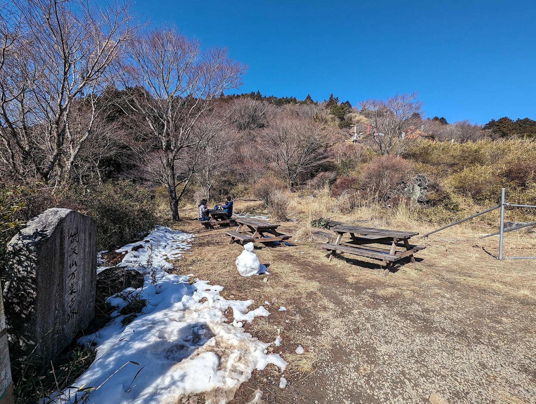
There is an old pairing in the Kanto region: Fuji in the west, Tsukuba in the east. It sounds generous to a mountain under 900 metres, until you see it from the train window. Mount Tsukuba rises alone out of a plain that is otherwise rice fields, warehouses and suburbs, and its two peaks make an outline you can pick out from far across Ibaraki Prefecture. Poets were writing about it more than a thousand years ago, in the Man'yoshu, the oldest surviving collection of Japanese verse.
This is the easy way to see it: ride up, walk between the summits, and come down on foot by the most interesting trail on the mountain.
Akihabara to the mountain's foot
The Tsukuba Express starts underground at Akihabara and runs north-east to Tsukuba station, the end of the line, in about 45 minutes on a rapid train. It also stops at Kita-Senju and Minami-Nagareyama, which helps if you are staying on that side of the city. From Tsukuba station a shuttle bus climbs to the mountain in roughly 40 minutes. Get off at the stop for Tsukubasan Shrine if you want to start at the shrine and the cable car; stay on to Tsutsujigaoka if you want the ropeway instead.
Buses run less often than trains, so look at the return times as soon as you arrive, not at the end of the afternoon. On busy autumn weekends the road up can be slow with cars, which is one more reason to take an early train. The general advice in first trains, last trains and the suitcase question fits this trip well.
A shrine whose sacred object is the mountain
Tsukubasan Shrine sits at the top of a short stepped street of old houses and souvenir stalls. It is an unusual kind of shrine: the object of worship is the mountain itself, and its two peaks are paired as a male and a female deity. The hall you see at the bottom is the place of worship; the inner sanctuaries are two small stone-walled shrines, one on each summit.
Pass under the torii, the gate marking sacred ground, and walk to the side of the path rather than its centre. Rinse your hands at the water basin, left then right, and your mouth from your cupped hand, never straight from the ladle. At the hall, the usual pattern is a coin, two bows, two claps and a last bow. Many visitors also collect a goshuin here, a stamp and brush-written inscription in a small book, given at the shrine office for a modest offering.
Up by cable car, and the saddle between the peaks
Behind the shrine is the lower station of the Tsukuba cable car. It climbs steeply through cedar and broadleaf forest to a saddle between the two summits called Miyukigahara, where you find a cluster of shops, benches and a viewing area. The ride takes only minutes. If you would rather walk, the Miyukigahara trail follows roughly the same line up, a steady climb of around an hour and a half on roots and stone steps.
The second way up is the ropeway from Tsutsujigaoka on the east side, which lands close to the higher summit, Nyotai-san. Either works for this loop. The cable car pairs better with the shrine, and it leaves the more varied trail for the walk down.
Two summits, ten minutes apart
From the saddle, Nantai-san, the male peak, is a short, steep walk to the west. Nyotai-san, the female peak and the higher of the two at a little under 880 metres, is a similar walk to the east. Both have a small shrine at the top and a lot of bare rock, which is where people sit to eat. Do both; together they take well under an hour with stops.
The view is the reason the mountain has been admired for so long. With nothing around it of any height, Tsukuba looks straight out over the Kanto plain. On a clear winter morning you may see Fuji to the south-west, the long lake of Kasumigaura to the east, and the pale grid of Tokyo far to the south. In summer the plain usually vanishes into haze. If the view is your main aim, go between December and February, early in the day.
- Nantai-san: the quieter summit, with a weather station building nearby.
- Nyotai-san: the higher one, busier because the ropeway lands close by.
- Miyukigahara: the saddle between them, where the cable car arrives and most people rest.
The boulder trail back down
From Nyotai-san, the trail down towards the east and south is the part of the day people talk about afterwards. It drops through a run of huge granite boulders, each with a name and a story attached. One slab leans over the path so precariously that the legendary warrior-monk Benkei is said to have turned back seven times before passing under it; that rock is called Benkei Nanamodori. Another pair forms a narrow gap that walkers squeeze through, said to be like passing through a mother's womb and coming out reborn.
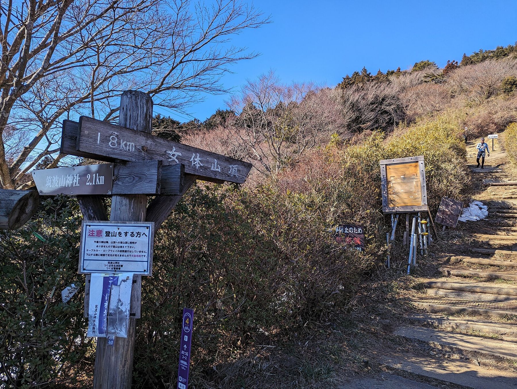
Further down, the trail splits. One branch leads to Tsutsujigaoka and the ropeway station, where you can catch the bus. The other, the Shirakumobashi trail, continues through forest back to Tsukubasan Shrine. Allow around two hours from the summit to the shrine at an easy pace. The rock is smooth and slippery when wet, and the steps are uneven, so wear shoes with real grip and take your time. Walking poles help knees on the long descent.
Fitting Tsukuba into the season
The mountain has a plum grove on its lower slopes that flowers from around mid-February into March, and the forest turns from about mid-November. Spring brings fresh green and fewer people than autumn. The calendar in plum, cherry, hydrangea, maple lays out which weeks suit which trips.
Tsukuba is a little gentler than the other classic Tokyo mountain day. If you have already walked Mount Takao by trail 6, this is the obvious next step: a longer ride out, a wider view, and a descent with more character. If the Tsukuba Express rapid service and the bus feel like a lot of changes, check the regional tickets described in which ticket for a day out; there is sometimes a combined offer for the train, bus and lifts. Check what is current before you go.
Last of all, keep an eye on the clock at the top. The cable car and ropeway stop in the late afternoon, earlier in winter, and the bus back to Tsukuba station thins out after that. Coming down on foot is the plan, but it is good to know the lifts are there if the weather turns or your knees protest.
Also on the the middle ring
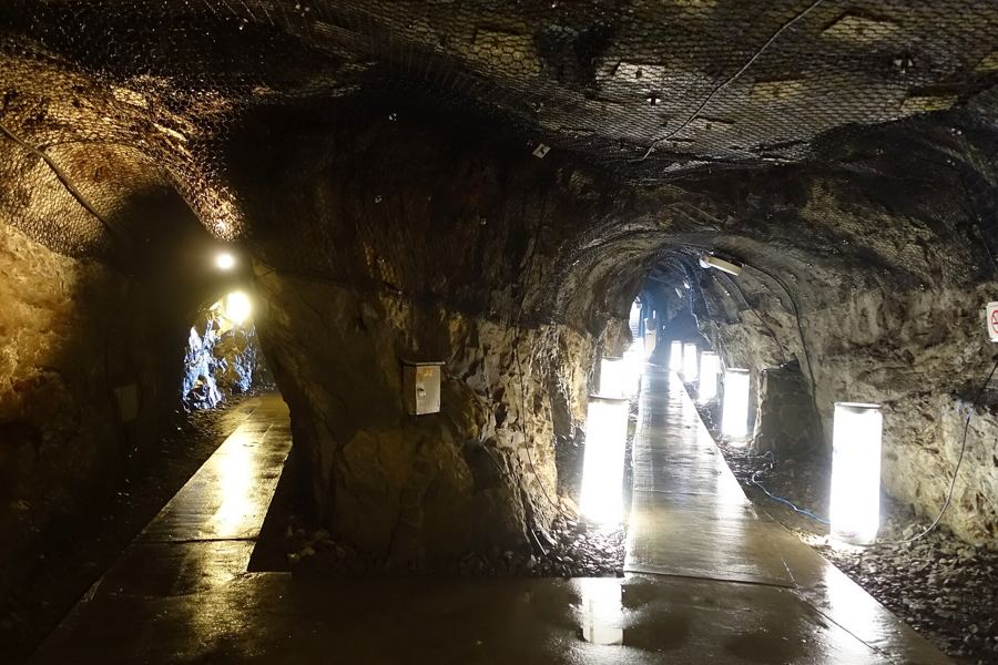
Enoshima island: caves, a lighthouse and the long bridge back
70 min · Shrines & temples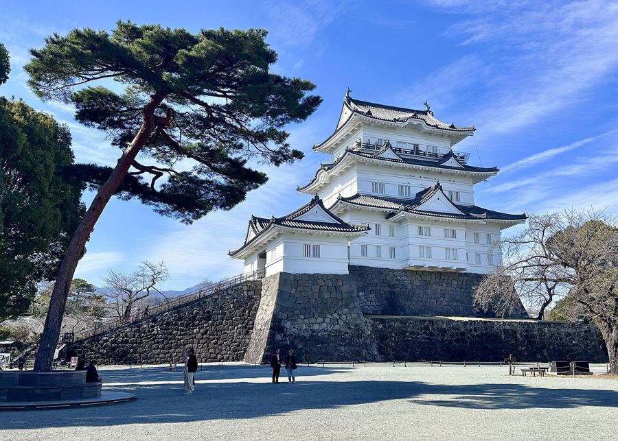
Odawara: a rebuilt castle keep and the plum groves below it
75 min · Old towns
Chichibu: a valley town with a shrine and a sea of moss phlox
80 min · Old towns